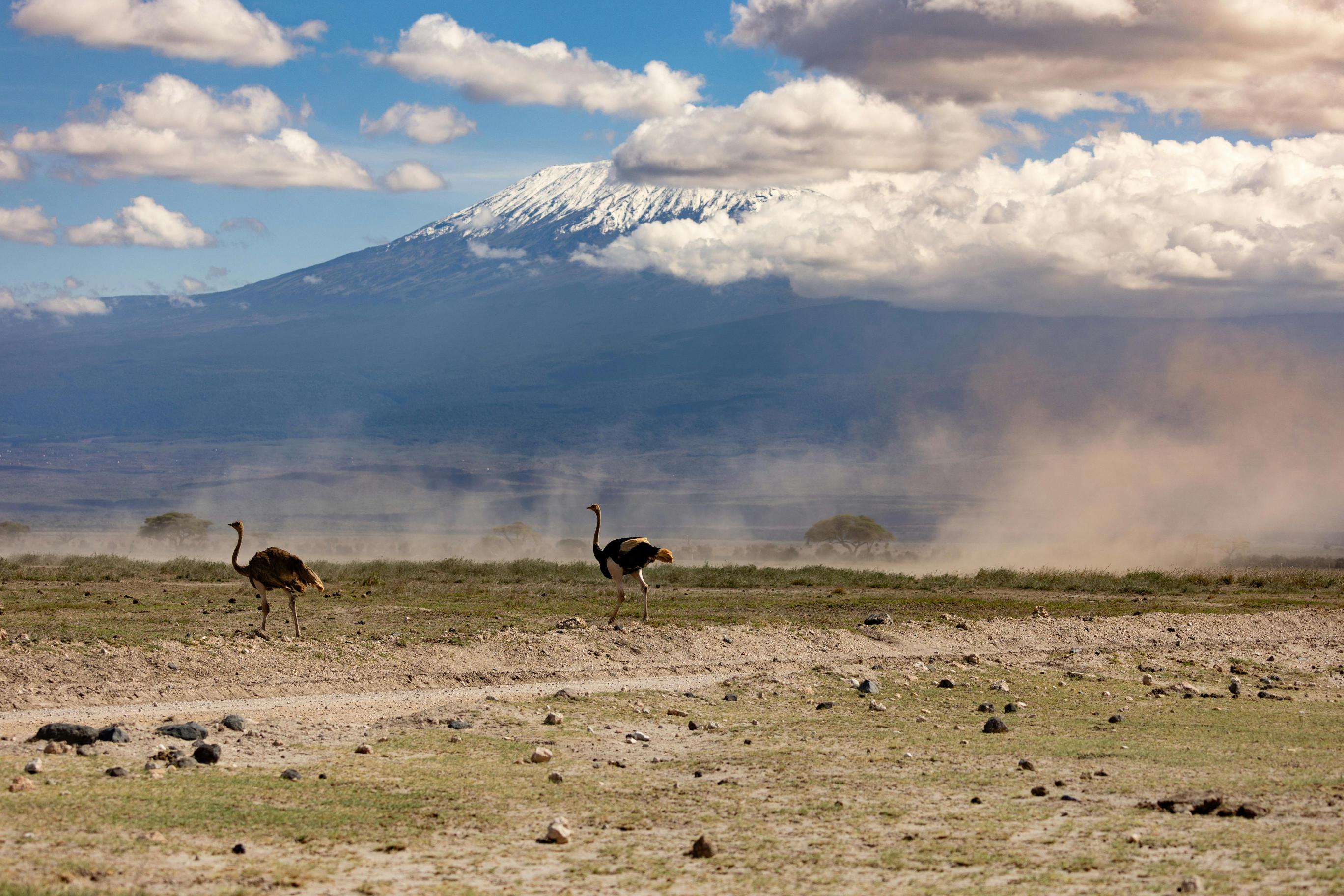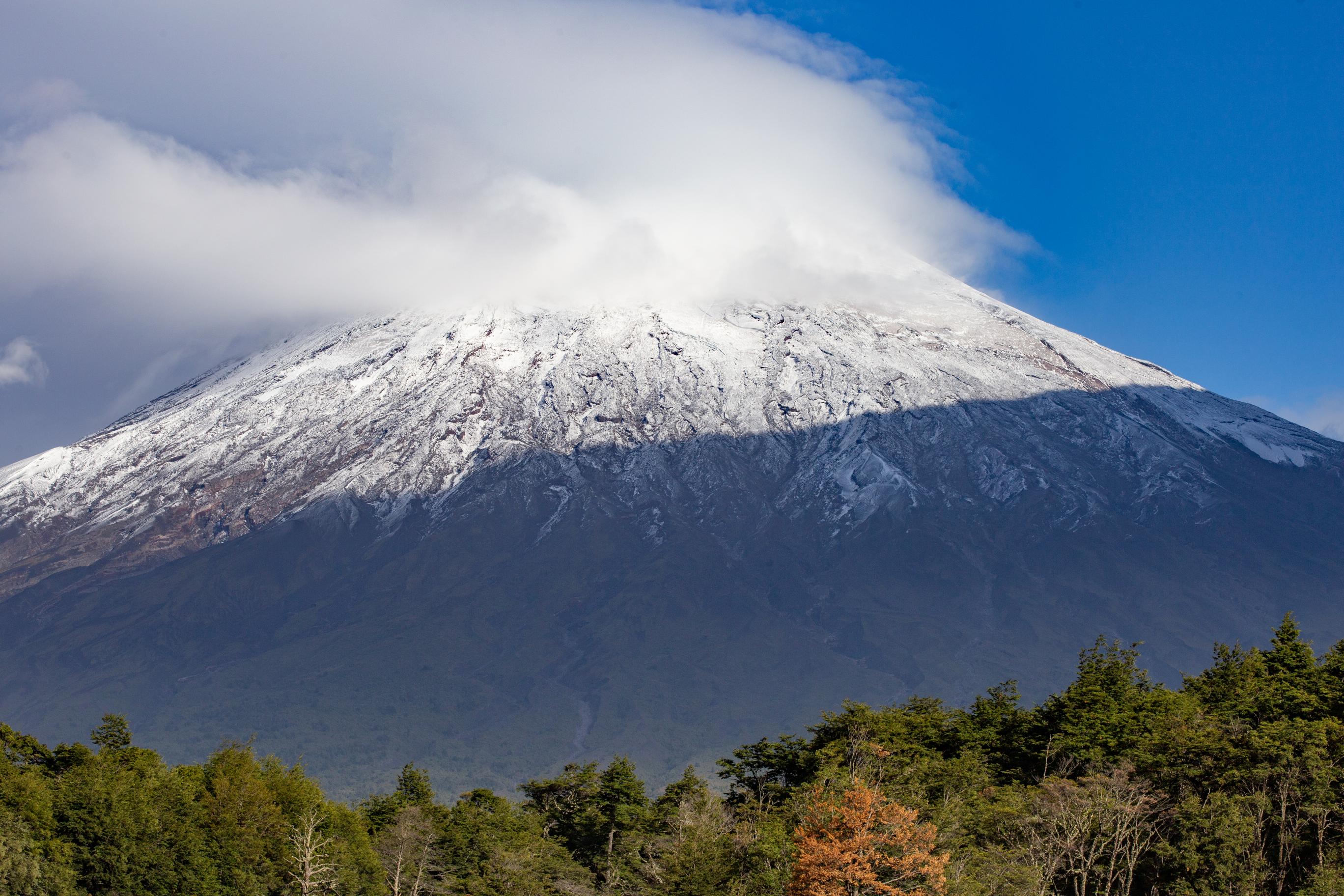
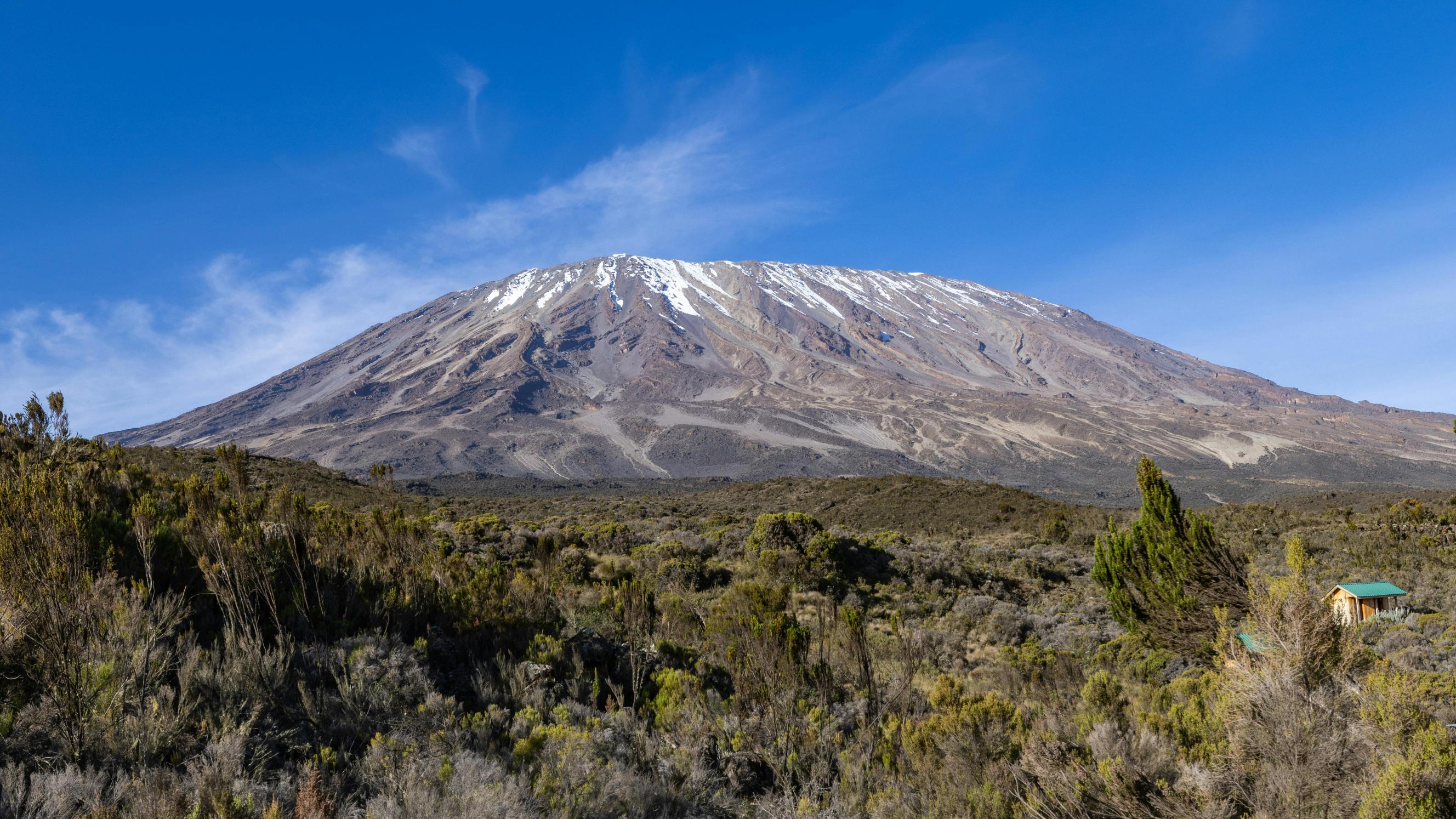
The 8-Day Mount Kilimanjaro Climb via the Lemosho Route is a carefully paced journey to Uhuru Peak, the highest point in Africa at 5,895 metres. It is one of the strongest choices for climbers who want beautiful mountain scenery, a gradual ascent and more time for their body to adjust to altitude.
Lemosho Route begins on Kilimanjaro’s western side and follows a quieter trail through rainforest before reaching the wide Shira Plateau. From there, it continues through Lava Tower, Barranco Valley, Karanga Camp and Barafu Camp before the final ascent to the summit. The descent follows the Mweka Route through rainforest on the southern side of the mountain.
The eight-day itinerary includes both Shira 1 Camp and Shira 2 Camp, giving climbers an additional day to gain altitude gradually before reaching the higher mountain environment. It also includes the important climb-high, sleep-low stage at Lava Tower, followed by a descent to Barranco Camp. This pacing makes the route a particularly good option for travellers who have enough time and want a more considered approach to Kilimanjaro.
EKO Tanzania Adventures provides experienced mountain guides, assistant guides, cooks and porters for this private Kilimanjaro climb. We arrange park fees, camping equipment, meals, daily health monitoring and transfers. Our focus is a safe, well-organised trek with personal support from the first day to the final descent.
8-Day Kilimanjaro Climb: Scenic Lemosho Route - Request for a free quote, sent direct to your e-mail address
Your Kilimanjaro climb begins with pickup from your hotel in Moshi or Arusha. You will be transferred to Lemosho Gate on the western side of Mount Kilimanjaro.
At the gate, your guide will assist with registration at Kilimanjaro National Park. You will meet the mountain crew, check your trekking equipment and prepare your daypack. Porters carry your main luggage and shared supplies, while you carry items needed during the day.
The trek begins through lush rainforest. The trail is green and shaded, with tall trees, ferns, moss and thick vegetation. It can be muddy after rain, so waterproof hiking boots and a rain jacket are useful.
This forest is home to birds and monkeys. You may see black-and-white colobus monkeys or blue monkeys, although wildlife sightings are never guaranteed.
After approximately three to four hours, arrive at Mti Mkubwa Camp. Mti Mkubwa means “big tree” in Swahili. Your tents will be ready, and the mountain cook will prepare a hot meal.
Elevation: 2,100m to 2,750m
Distance: Approximately 7 km
Walking time: 3–4 hours
Habitat: Rainforest
Meals included: Lunch and dinner
Overnight: Mti Mkubwa Camp
After breakfast, leave the rainforest and start climbing into the moorland zone. The vegetation becomes more open as you gain height, changing from dense forest to tall heather, grass and volcanic slopes.
The route rises steadily towards the Shira Plateau. On clear days, you may see wide views across the western side of Kilimanjaro and the summit cone in the distance.
The day is longer, so your guide will keep a slow and steady pace. The Swahili phrase pole pole means slowly, and it is an important part of managing altitude safely.
Arrive at Shira 1 Camp at approximately 3,505 metres. The campsite lies on the Shira Plateau, an ancient volcanic caldera with broad open views. Temperatures can drop quickly after sunset, so warm clothing is essential.
Elevation: 2,750m to 3,505m
Distance: Approximately 8 km
Walking time: 5–6 hours
Habitat: Rainforest to moorland
Meals included: Breakfast, lunch and dinner
Overnight: Shira 1 Camp
After breakfast, continue across the Shira Plateau towards Shira 2 Camp. This is a shorter and more gradual day, giving your body additional time to adapt to the altitude.
The route passes across open moorland with volcanic rock formations, low vegetation and wide views. This section of the mountain feels very different from the forested first day. The plateau can be windy, but its open setting is one of the highlights of the Lemosho Route.
Arrive at Shira 2 Camp at approximately 3,840 metres. After lunch, you may take a short acclimatisation walk higher up the slope before returning to camp. This depends on weather conditions and your guide’s assessment.
The extra night on the Shira Plateau is one of the key advantages of the eight-day itinerary. It allows you to spend time at elevation without moving too quickly.
Elevation: 3,505m to 3,840m
Distance: Approximately 7 km
Walking time: 3–4 hours
Habitat: Moorland
Meals included: Breakfast, lunch and dinner
Overnight: Shira 2 Camp
After breakfast, trek east towards Lava Tower. The trail gradually climbs through alpine desert, where vegetation becomes sparse and volcanic rock dominates the landscape.
Lava Tower stands at approximately 4,630 metres. You will stop here for lunch and spend time at this higher altitude. This is an important acclimatisation stage. Some climbers may feel mild symptoms such as headache, tiredness or reduced appetite, which is why guides monitor everyone carefully.
After lunch, descend to Barranco Camp at approximately 3,960 metres. Although you climb high at Lava Tower, you sleep lower at Barranco. This climb-high, sleep-low approach helps your body adapt before the summit days.
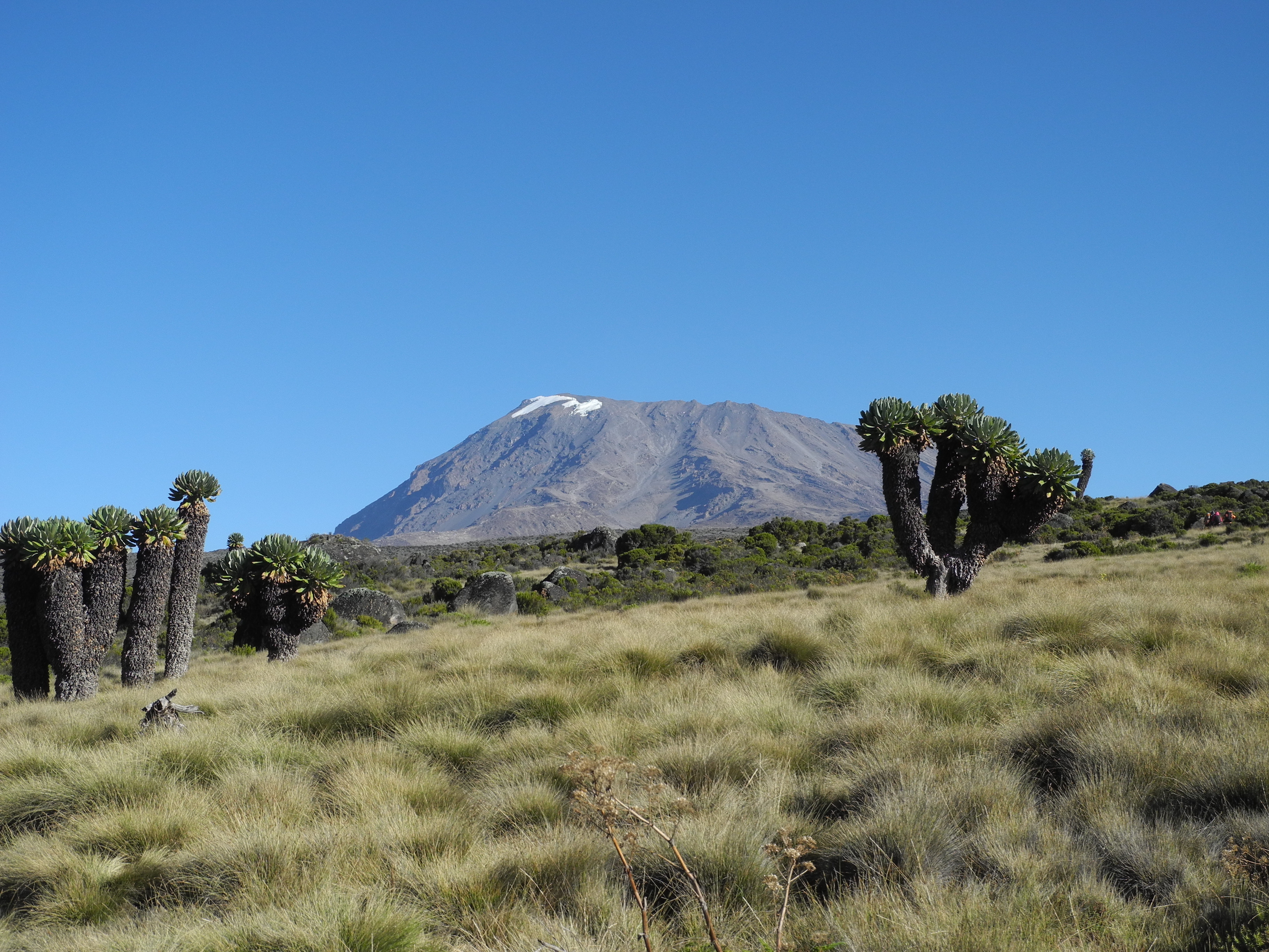
Barranco Camp is one of the most scenic campsites on Kilimanjaro. It sits beneath the Barranco Wall and offers views of volcanic cliffs, valleys and giant high-altitude plants.
Elevation: 3,840m to 4,630m to 3,960m
Distance: Approximately 10 km
Walking time: 6–8 hours
Habitat: Alpine desert
Meals included: Breakfast, lunch and dinner
Overnight: Barranco Camp
After breakfast, begin the climb up the Barranco Wall. It looks steep from below, but it is a trekking scramble rather than technical climbing. In some sections, you may use your hands for balance. Your guide will show you where to step and will support the group carefully.
The top of the wall offers excellent views across Barranco Valley and towards the summit cone. After the wall, the trail continues across ridges and valleys, with a short descent followed by another climb towards Karanga Camp.
The distance is not long, but the terrain and altitude make it an important trekking day. The ups and downs also help with acclimatisation.
Arrive at Karanga Camp at approximately 4,035 metres. Spend the afternoon resting, drinking water and preparing for the next stage of the climb.
Elevation: 3,960m to 4,035m
Distance: Approximately 5 km
Walking time: 4–5 hours
Habitat: Alpine desert
Meals included: Breakfast, lunch and dinner
Overnight: Karanga Camp
After breakfast, leave Karanga Camp and continue to Barafu Camp. The landscape is dry, rocky and exposed, with little vegetation. At this altitude, the air is thin and the temperature can change quickly.
Walk slowly and keep drinking water. Barafu Camp is located at approximately 4,640 metres and is the final camp before the summit attempt.
Arrive by lunchtime or early afternoon. Rest as much as possible, eat well and prepare your summit clothing and equipment. Your guide will make sure you have warm layers, gloves, a hat, headlamp, spare batteries, water and snacks ready for the night.
Dinner is served early because the summit ascent begins around midnight.
Elevation: 4,035m to 4,640m
Distance: Approximately 4 km
Walking time: 3–4 hours
Habitat: Alpine desert
Meals included: Breakfast, lunch and dinner
Overnight: Barafu Camp
Summit day is the longest and most demanding day of the trek.
Around midnight, wake up for a light snack and begin the ascent towards Uhuru Peak. The trail climbs steeply over loose volcanic scree in darkness. The temperature is often below freezing, and the wind can make it feel even colder.
Your guides will set a slow pace. The aim is to manage energy and altitude safely, not to walk quickly. Take small steps, breathe steadily and report any serious symptoms immediately.
After several hours, reach Stella Point at approximately 5,756 metres on the crater rim. From there, continue along the rim towards Uhuru Peak at 5,895 metres.
Take photographs at the summit sign and enjoy the achievement of reaching the highest point in Africa. Because of the cold and extreme altitude, time at the summit is brief.
Begin descending to Barafu Camp for a short rest and lunch, then continue down to Mweka Camp at approximately 3,080 metres. The descent is long and can be hard on the knees, but the lower altitude makes breathing easier.
Elevation: 4,640m to 5,895m to 3,080m
Distance: Approximately 17 km
Walking time: 11–15 hours
Habitat: Arctic summit zone to rainforest edge
Meals included: Breakfast, lunch and dinner
Overnight: Mweka Camp
After breakfast, begin your final descent through rainforest to Mweka Gate. The trail may be muddy after rain, and trekking poles are helpful for the downhill terrain.
At Mweka Gate, you will sign out with Kilimanjaro National Park. Climbers who reach Uhuru Peak receive an official summit certificate.
Meet your driver and return to Moshi or Arusha, where you can enjoy a hot shower, rest and celebrate your climb.
Elevation: 3,080m to 1,640m
Distance: Approximately 10 km
Walking time: 3–4 hours
Habitat: Rainforest
Meals included: Breakfast and lunch
8-Day Kilimanjaro Climb: Scenic Lemosho Route - Request for a free quote, sent direct to your e-mail address
| Office In: | Tanzania |
| City: | Arusha |
| Since: | 2011 » (15) Years of Experience. |
| Size: | 6 - Employees |

8-Day Kilimanjaro Climb: Scenic Lemosho Route
This tour is offered by;

We had an amazing safari with Eko Tanzania Adventure. Our guide Franco was friendly, professional, and very knowledgeable. We were lucky to see lions, elephants, giraffes, and many other animals. Everything was well organized and we felt very well taken care of throughout the trip. Highly recommended!