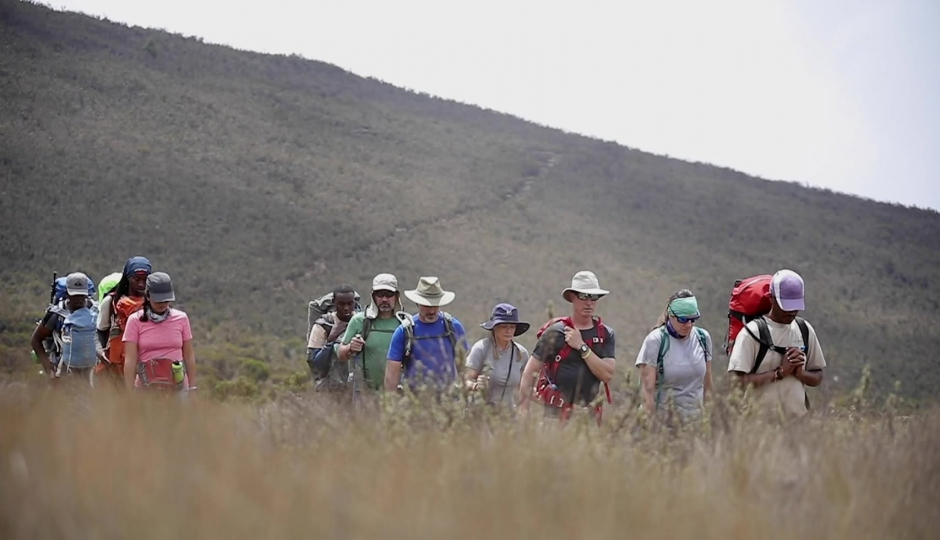
The Grand Traverse Route on Mount Kilimanjaro is one of the mountain’s most unique and
least-crowded itineraries. Unlike the popular southern approaches, the Grand Traverse takes you
across the remote northern slopes, giving you untouched landscapes, panoramic views, and a
true wilderness feeling.
This route connects the Lemosho Forest to the Shira Plateau, then makes a wide northern arc
through the Moir Valley, Pofu, and Rongai side, before joining the summit path at School Hut.
It is ideal for climbers seeking:
Total isolation away from crowds
Exceptional acclimatization with gradual elevation gain
Diverse scenery (rainforest, high desert, glaciers, alpine valleys)
A more natural and peaceful Kilimanjaro experience

Kilimanjaro Grand Traverse Route - Request for a free quote, sent direct to your e-mail address
Elevation: 7,380 ft / 2,250 m (Gate) ? 9,800 ft / 2,987 m (Camp)
Distance: ~6 km / 3.7 miles
Hiking time: 3–4 hours
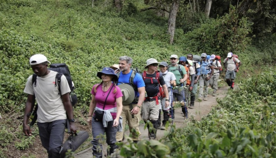
Begin through the lush montane rainforest, where you may see black-and-white colobus
monkeys and rich vegetation. The trail is steady and gradually climbs to Forest Camp
Elevation: 9,800 ft / 2,987 m ? 11,500 ft / 3,505 m
Distance: 7 km / 4.3 miles
Hiking time: 4–5 hours
As you leave the forest, the trail opens into the Shira Plateau, one of the world’s highest and
oldest volcanic plateaus. Stunning mountain views begin to appear.
Elevation: 11,500 ft / 3,505 m ? 13,700 ft / 4,175 m
Distance: 12 km / 7.5 miles
Hiking time: 6–7 hours
A beautiful day crossing the wide Shira Plateau. Moir Hut sits in a remote valley beneath steep
slopes—perfect for acclimatization hikes.
Elevation: 13,700 ft / 4,175 m ? 13,200 ft / 4,023 m
Distance: 10 km / 6.2 miles
Hiking time: 5–6 hours
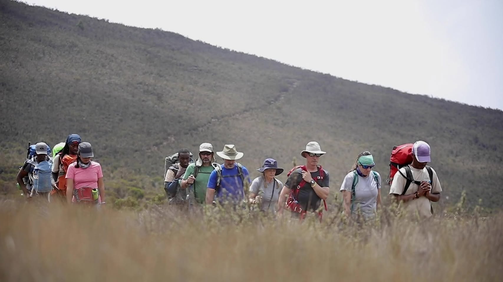
You climb out of Moir Valley and begin the Grand Traverse across Kilimanjaro’s quiet
northern face. Expansive views of Kenya and the plains below.
Elevation: 13,200 ft / 4,023 m ? 12,800 ft / 3,901 m
Distance: 9 km / 5.5 miles
Hiking time: 4–5 hours
Gentle ups and downs along a quiet ridge. The path is tranquil and very lightly used. Third Cave
is a peaceful, scenic camp.
Elevation: 12,800 ft / 3,901 m ? 15,500 ft / 4,724 m
Distance: 7 km / 4.3 miles
Hiking time: 5–6 hours
A slow ascent to the final high camp. Early dinner and rest before the big summit night.
Elevation:
Start: 15,500 ft / 4,724 m
Summit: 19,341 ft / 5,895 m
End: 12,500 ft / 3,810 m
Distance:
To summit: 5 km / 3.1 miles
Down to camp: 11 km / 6.8 miles
Total: 16 km / 9.9 miles
Hiking time: 10–14 hours
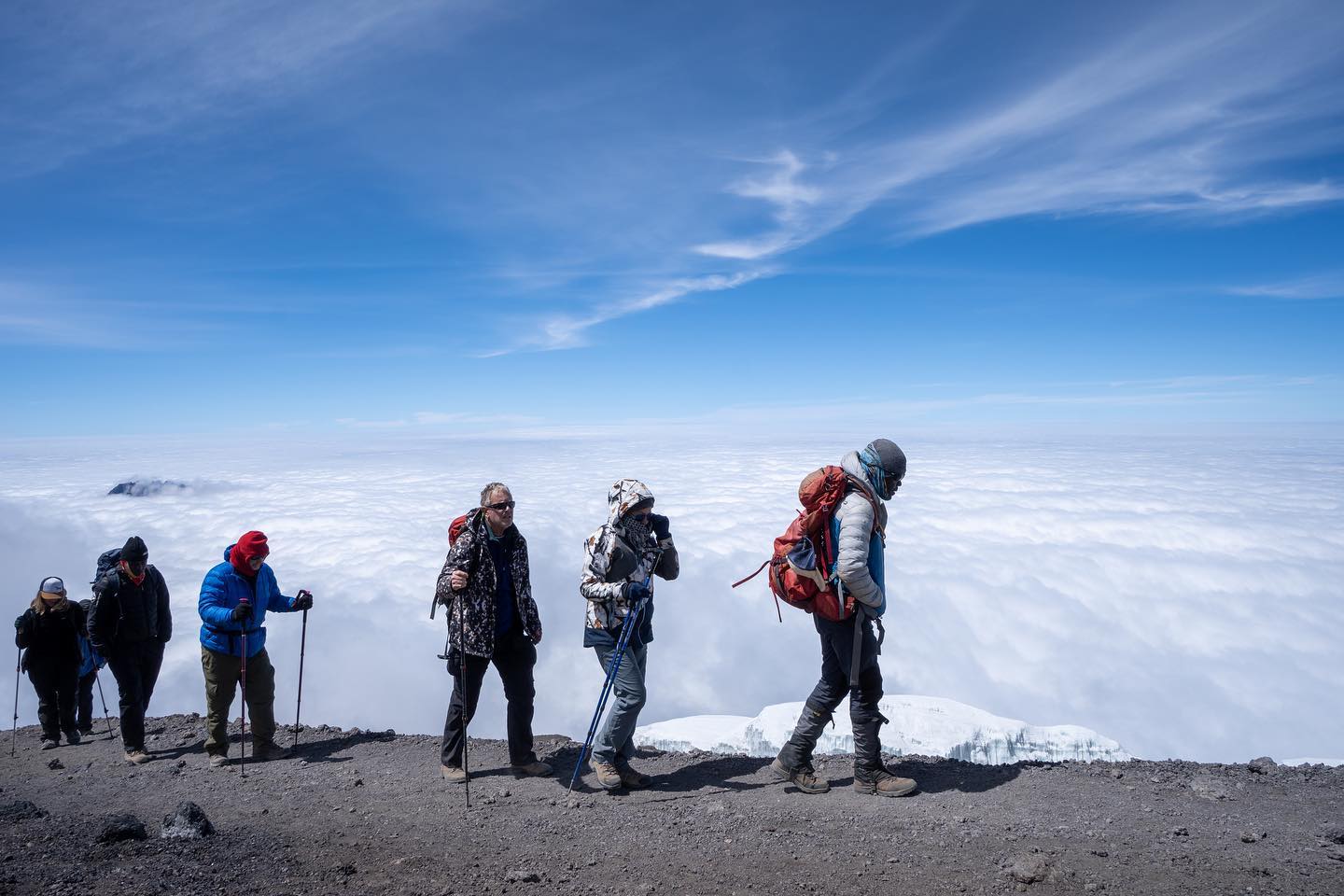
Begin the trek around midnight via Gilman’s Point and Stella Point, reaching Uhuru Peak, the
highest point in Africa. After photos and celebrations, descend to Millennium Camp for much
needed rest.
Elevation: 12,500 ft / 3,810 m ? 5,380 ft / 1,640 m
Distance: 10 km / 6.2 miles
Hiking time: 4–5 hours
A gentle descent through the rainforest to Mweka Gate, where you receive your summit
certificates and transfer back to Arusha/Moshi.
Kilimanjaro Grand Traverse Route - Request for a free quote, sent direct to your e-mail address
| Office In: | Tanzania |
| City: | Arusha |
| Since: | 2025 » (1) Year of Experience. |
| Size: | 68 - Employees |

Kilimanjaro Grand Traverse Route
This tour is offered by;